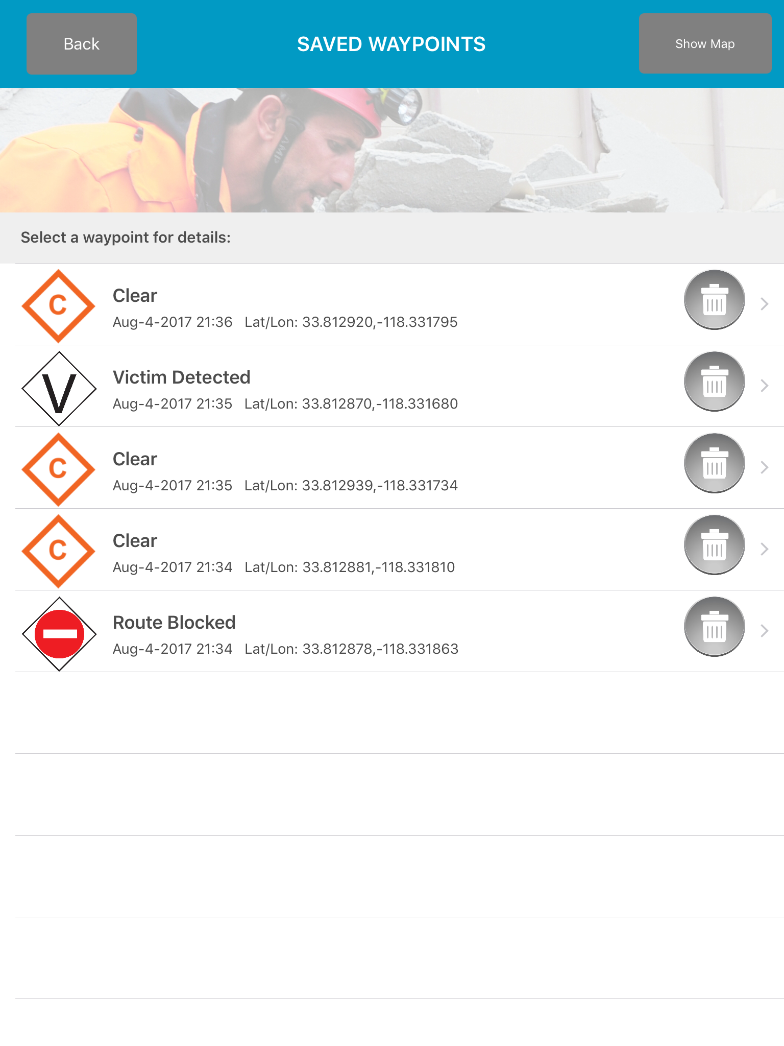
GPS Tracks and Waypoints
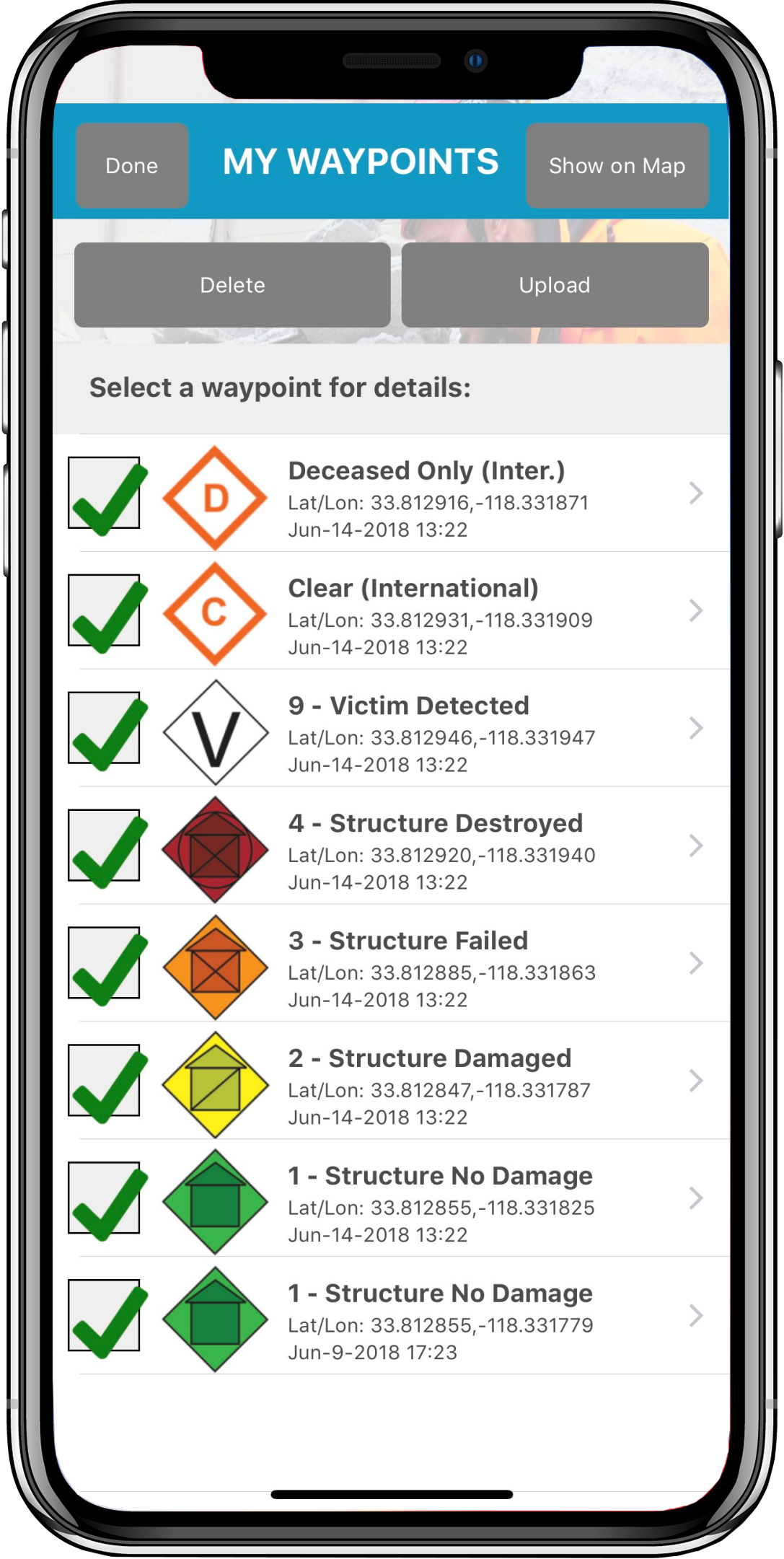
The GPS and Waypoints features of Disaster Surveyor have been designed with years
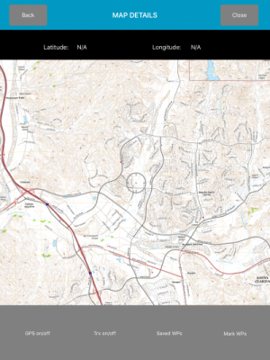
Area Maps
The Area Maps section of the app contains a variety of useful tools for both
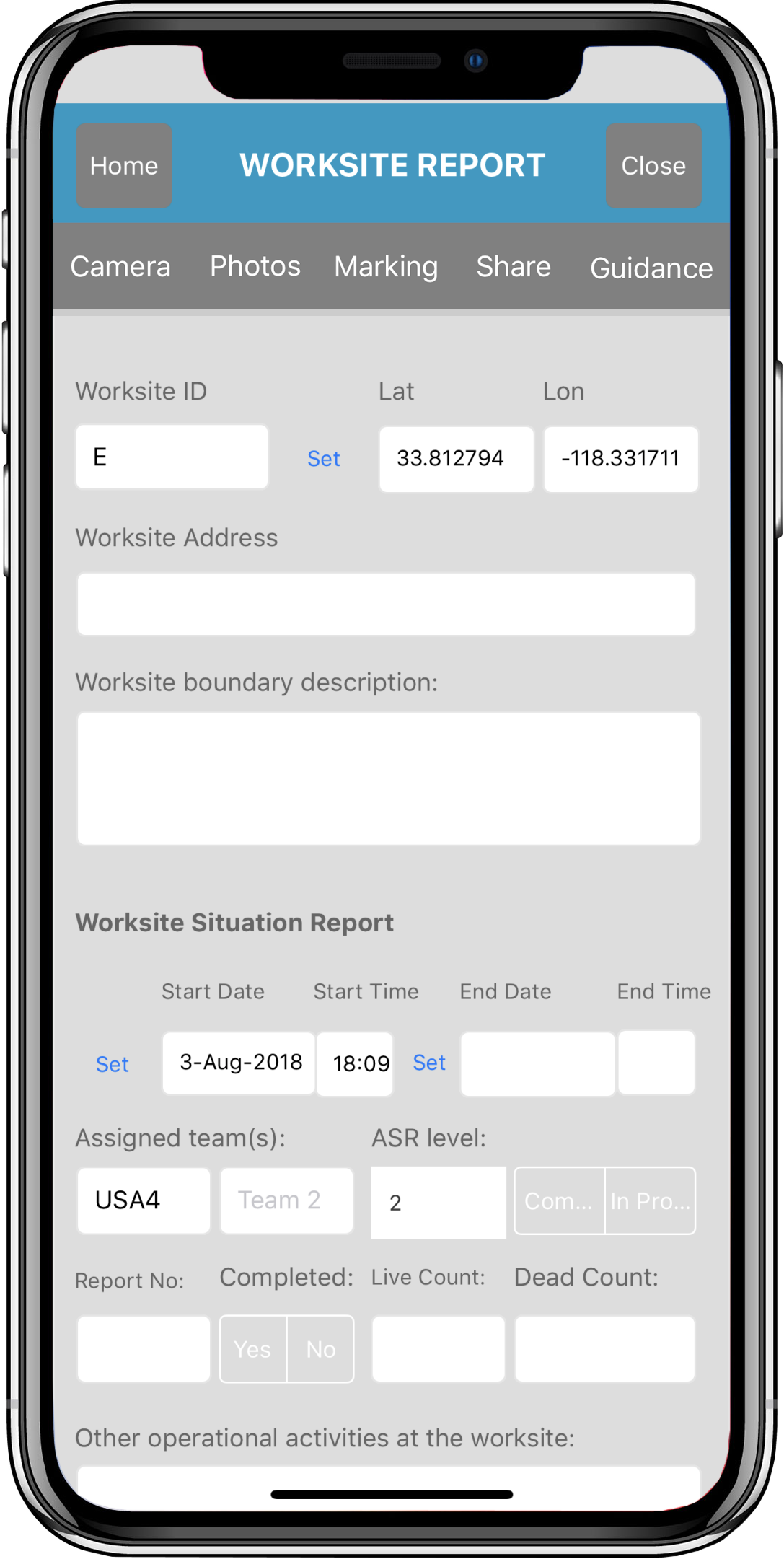
Worksite Report Forms
The Worksite Report forms are the overall worksite situation report for rescue counts, deceased victims
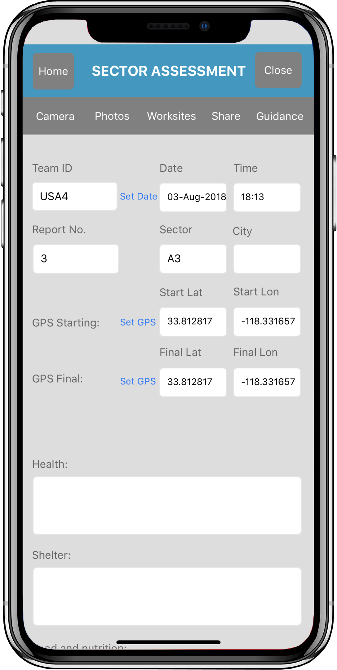
Sector Assessment Forms
The Sector Assessment forms help create an overall picture of the entire sector including all
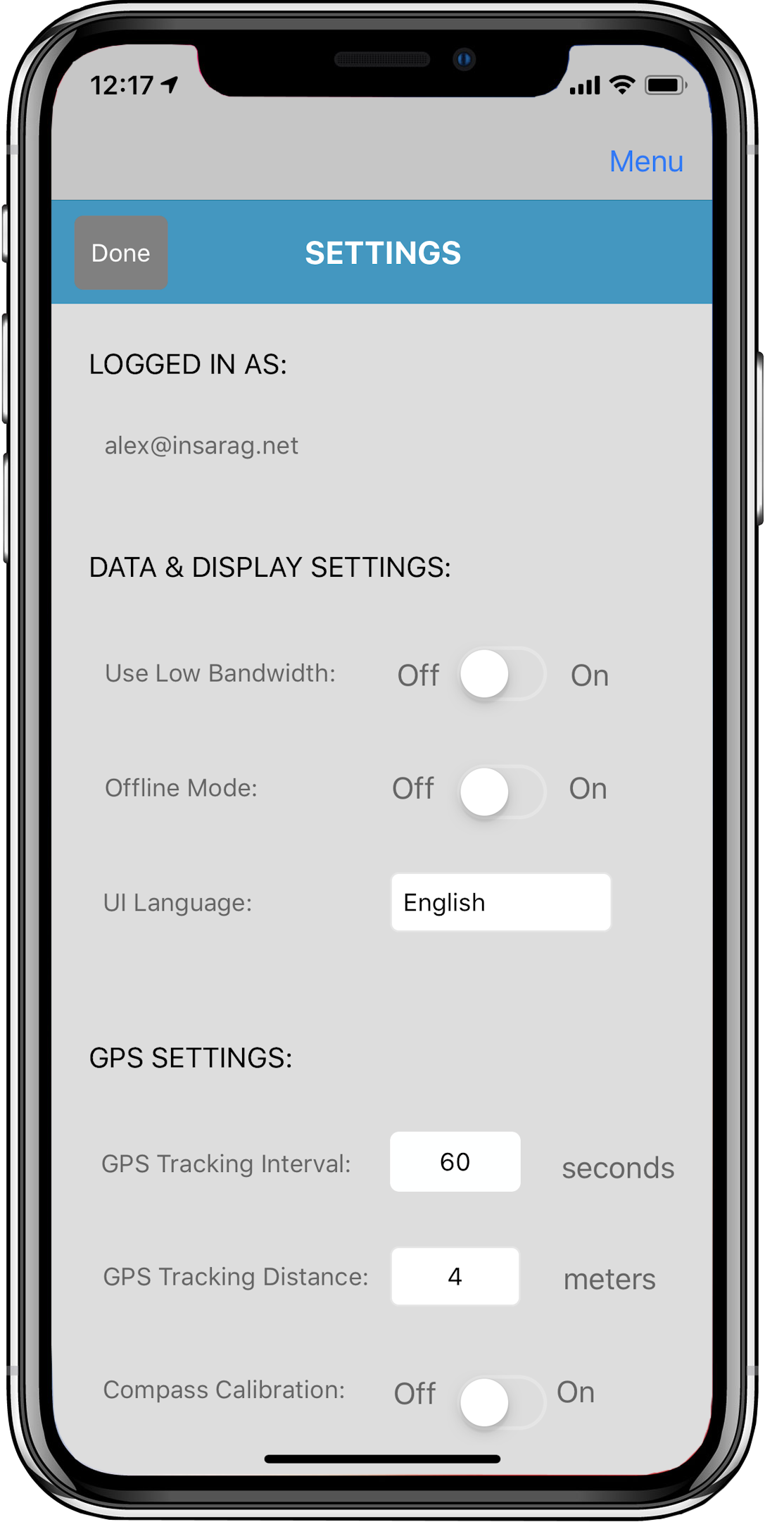
Options and Settings
Disaster Surveyor has several options and settings that are cognizant of the type of unexpected emergency environments
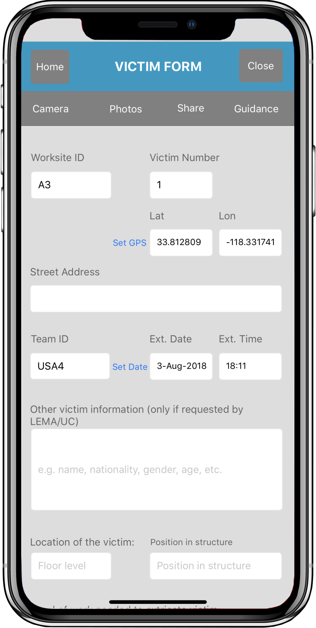
Victim Extrication Forms
The Victim Extrication forms gather information about victims found in a disaster worksite. The
Other Features
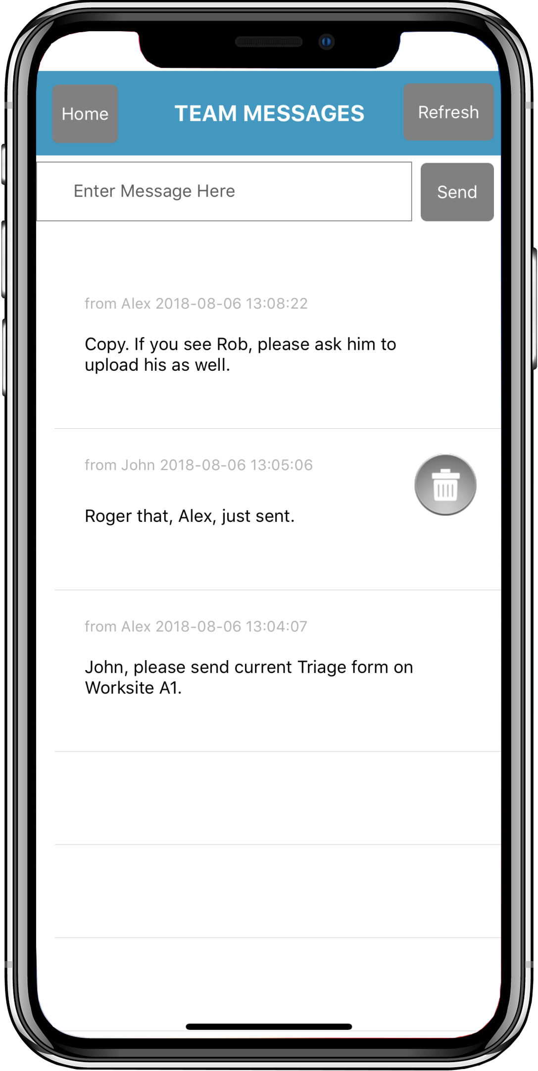
Disaster Surveyor includes a simple text-based team chat. Every photo saved directly to a form
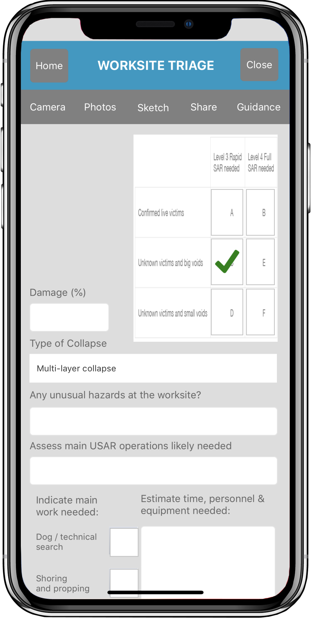
Worksite Triage Forms
The Worksite Triage forms help gather preliminary data during initial review of a disaster
FEMA Waypoints and Tracking sets
Disaster Surveyor has incorporated the most comprehensive set of GPS marker icons as utilized by both the United Nations
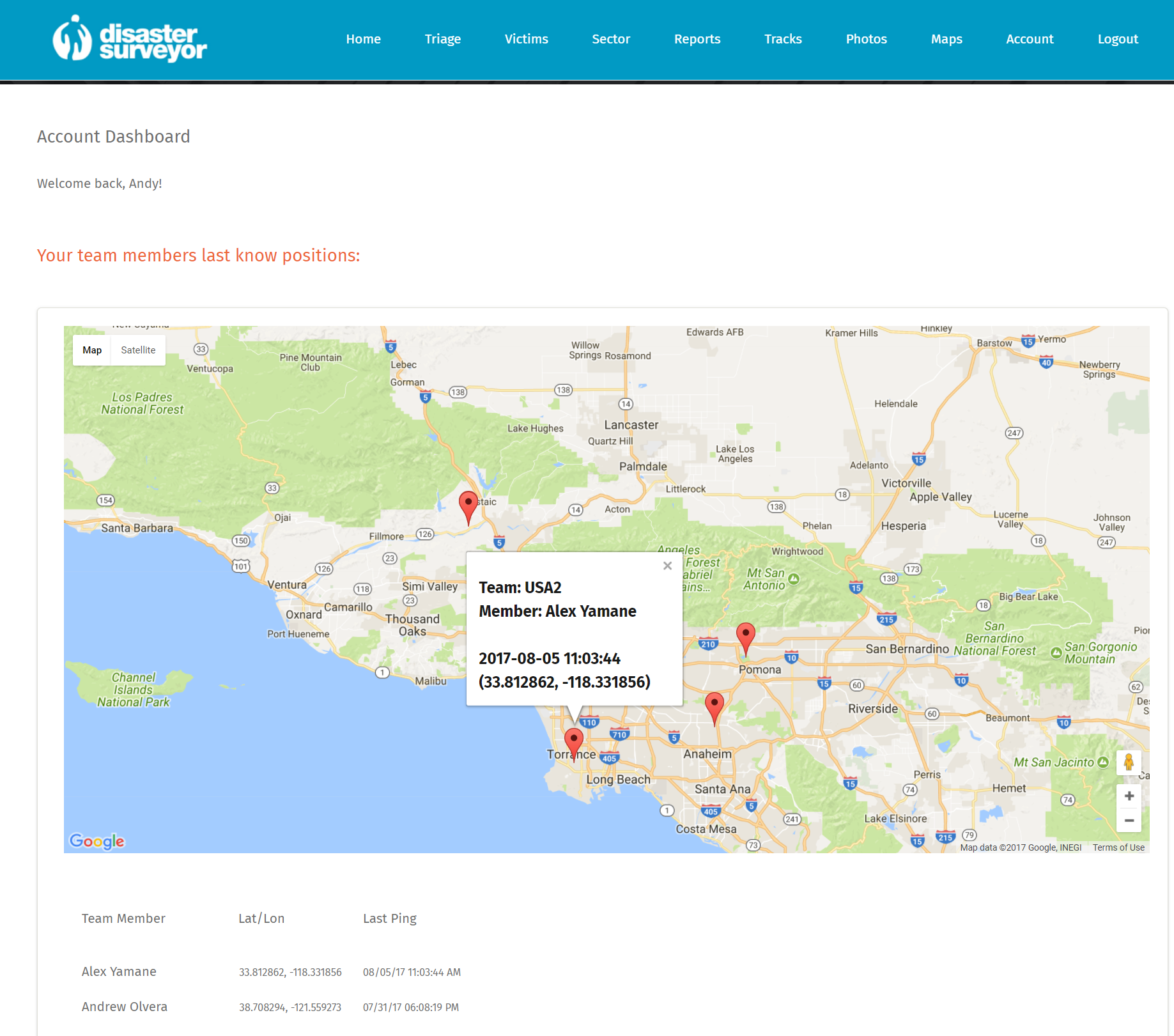
Team collaboration
Disaster Survey has been designed to work with multiple team groups with a central management tool for any adhoc
Team file sharing
Combined with 10 mile reach walkie-talkie enabled Beartooth connectivity devices, Disaster Surveyor allows team members to share and communicate critical data with each
Offline Maps and Photos
Disaster Surveyor allows saved reference pdf maps to be used in conjunction with data collection efforts while making initial worksite assessments. For emergencies

