Premium Features
Disaster Surveyor premium team management features are available for all 3 of our platforms. Premium features are available through the team management website for all 3 of our apps and includes the following:
- Ability to archive all form data (for international website only) and waypoints data (all 3) by date range.
- Ability to post waypoints data to any ESRI ArcGIS Map Layer of your choice (including those used for any Operations Dashboards).
- Ability to send SMS-based team dispatch for events.
- Ability to send SMS-based team messages inter-operably with Team Chat feature in apps and website.
 SMS Team Dispatch
 SMS Team Dispatch
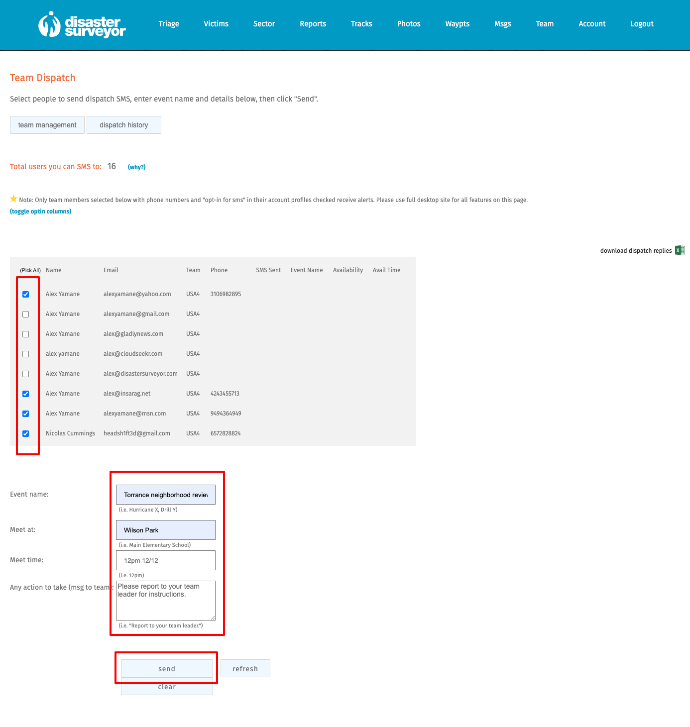
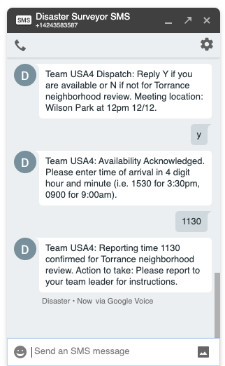
Premium team administrators and ops coordinators can now send SMS-based events dispatch. This is a simple SMS-based dispatching system that allows you to send out a dispatch for event availability to your team. Fields for team dispatch include: Event name, Meeting location name, Meeting time/date and a quick instructional message to those available for the event.
For more info, please see section “SMS Team Dispatch” in the User Guide, or watch our tutorial video at: https://bit.ly/dstutorial11.
 SMS Team Messaging
 SMS Team Messaging
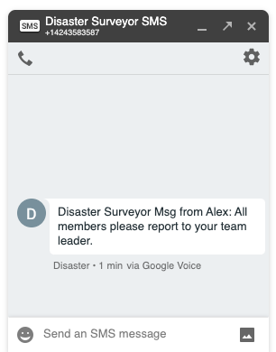
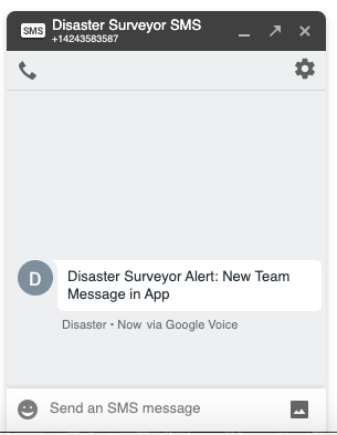
Premium licensed users can now send out SMS-based team messaging alerts. Users who are part of a team with at least 1 premium license will receive a generic notice of new message alerts while actual license holders (or those assigned a team license) will receive the actual message text. All team messages are interoperable with the team chat room in our apps and websites.
For more info, please see section “SMS Team Messaging” in the User Guide or watch or tutorial video at https://bit.ly/dstutorial12.
 Post to any ArcGIS Map layer
 Post to any ArcGIS Map layer
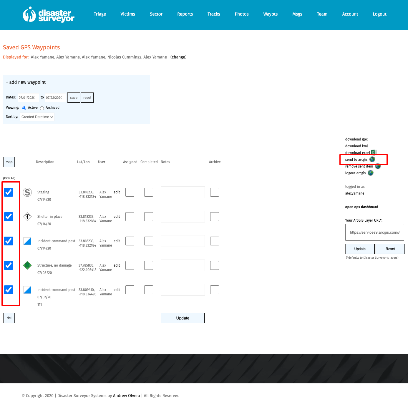
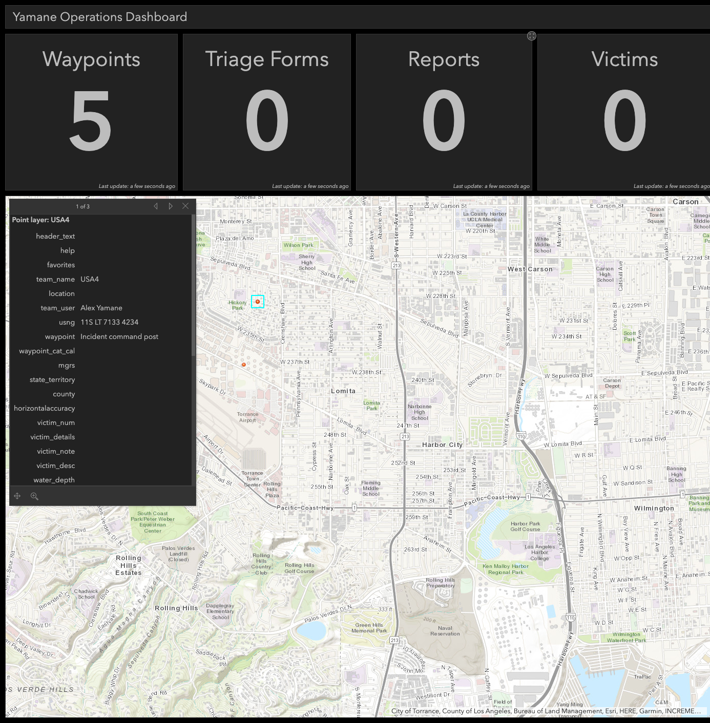
Premium licensed users can now post their waypoints data to any ESRI ArcGIS Hosted Feature Layer. Simply entering your hosted feature layer web address into the URL box to the right of the forms or waypoints pages, save, then select items to post to your layer.
For more info, please see section “Posting Waypoints to Any ArcGIS Layer” in the User Guide or watch our tutorial video at https://bit.ly/dstutorial13.
 Team Data Archiving
 Team Data Archiving
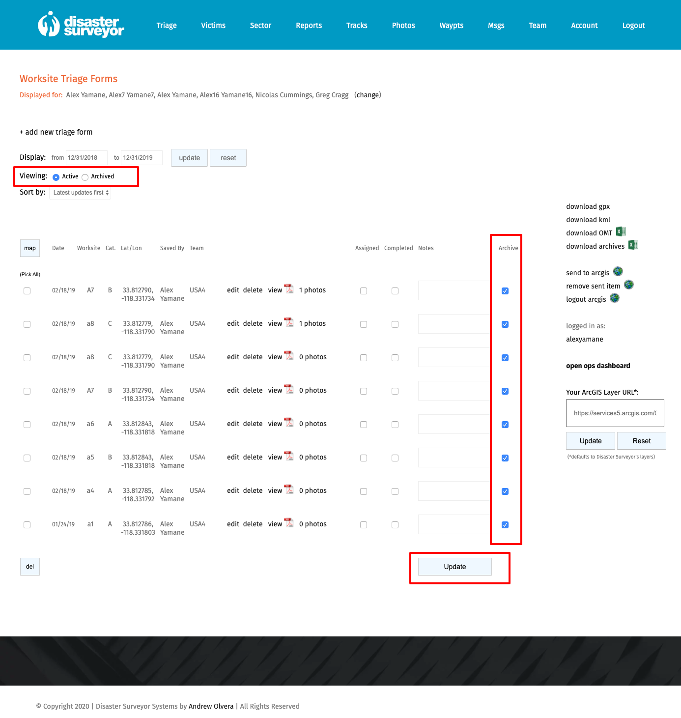
Premium licensed users now have the ability to archive their data from their website view. These include all form data, track set data, and waypoint data. Archived data can be viewed by date range, and only visible to premium users.
For more info, please see section “Archiving Data in Website View” in the User Guide or watch our tutorial video at https://bit.ly/dstutorial14.
License Pricing
To purchase your license, please log into your account at https://www.disastersurveyor.com/login, https://cert.disastersurveyor.com, or https://us.disastersurveyor.com, and click on the “Upgrade to Premium” link in your Account page.
For a limited time, get 50% off on single user, or annual payment for team packs using promo code 50off at checkout! Your discounted rate will be good for the life of your subscription. You can also try our premium tools for free for 90 days with promo code trial90 at checkout.
Frequently Asked Questions

